What 30.9 percent represents
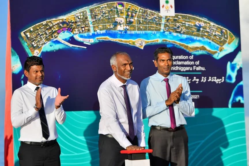
The 2026 progress figure records 355.3 hectares reclaimed from a planned total of 1,150 hectares. That is 30.9 percent of the target area, leaving 794.7 hectares still to be formed. The number is a useful measure of physical expansion, but it should not be confused with the percentage of the city that is complete or ready for residents.
Newly placed sand must settle, be compacted and pass engineering checks before it can safely support roads or buildings. Different zones may advance at different speeds, allowing infrastructure work to begin on stable ground while dredging continues elsewhere. A single percentage therefore compresses several stages—filling, treatment, protection and construction readiness—into one easily communicated figure.
How a lagoon becomes buildable land
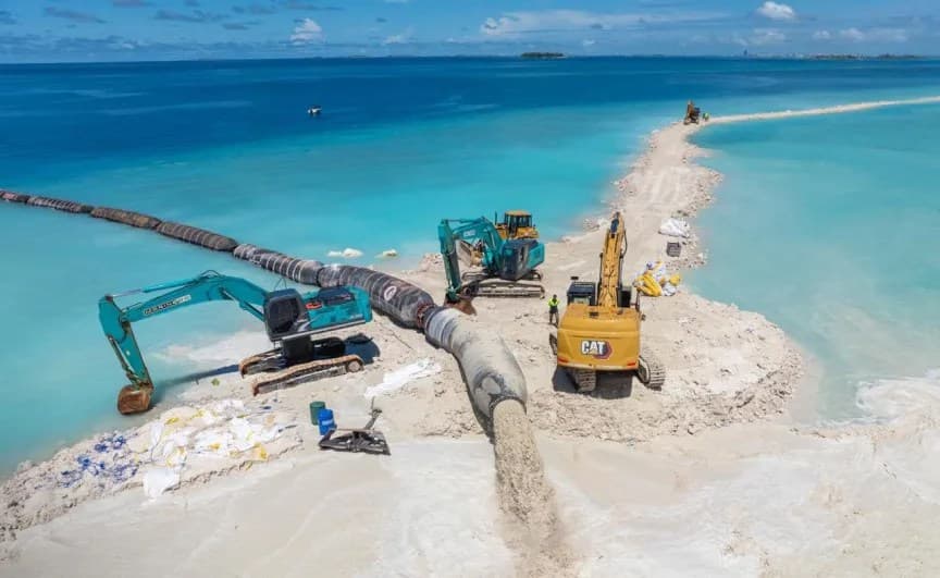
Large reclamation projects typically move sand or sediment into defined lagoon areas, often using dredging pipes and specialised vessels. Material is placed in layers, shaped and compacted to meet design requirements. Coastal edges then need protection against waves and erosion, while surveys track settlement and confirm whether the ground can carry the loads planned for it.
Quality control continues after the shoreline first appears. Engineers monitor levels, density and movement, and utilities require carefully coordinated corridors through the new ground. Roads, drainage and water networks cannot be improvised after buildings arrive. The value of the platform depends on these less visible systems being designed into each phase from the beginning.
Reclamation creates the platform for a city; it does not create the streets, services or civic life that make the platform habitable.
Environmental questions remain central
Dredging can release suspended sediment, alter water movement and affect nearby coral or seagrass. Responsible oversight therefore requires baseline surveys, turbidity monitoring and public reporting throughout the work, not only an assessment before it begins. Coastal structures should also be evaluated for how they redirect currents and erosion beyond the project's immediate boundary.
The future city adds another environmental layer. Wastewater, storm runoff, heat and electricity demand will shape the lagoon long after reclamation vessels leave. Claims of sustainability will be more convincing when linked to measurable standards for water quality, energy, waste and habitat. Building new land in a climate-exposed nation makes long-term monitoring a core service rather than an optional add-on.
The next milestones to watch
Future updates should distinguish raw hectares from land that has completed settlement and engineering preparation. They should also identify where roads, utilities, housing and public facilities are under construction. That fuller dashboard would help residents understand not just how much sand has arrived, but which parts of Ras Malé are moving toward practical use.
Transparency matters because the project carries housing, economic and ecological consequences for the wider capital region. The current 355.3-hectare footprint is substantial evidence of activity, yet most of the reclamation target remains ahead. Progress will become meaningful city-building when stable ground is matched by transport, schools, healthcare, public space and accountable environmental performance.